 vesseltracker.com
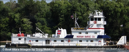
Find the position of the vessel Rick Harnack on the map. The latter are known coordinates and path.
marine traffic ship tracker show on live map
The current position of vessel Rick Harnack is 37.0479 lat / -88.0818 lng. Updated: 2024-11-28 00:00:30 UTCCurrently sailing under the flag of USA
Gross tonnage:
514Service entry:
1985-01-01T00:00:00ZDetails:
Last coordinates of the vessel:
UTC, 37.0176, -88.2242, course: 162, speed: 0UTC, 37.0015, -88.1392, course: 13, speed: 5
UTC, 37.0479, -88.0818, course: 132, speed: 5.4
2024-11-28 00:00:30 UTC, 37.0479, -88.0818, course: 132, speed: 5.4