 vesseltracker.com
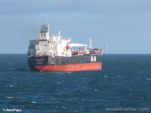
Find the position of the vessel Ridgebury Cindy A on the map. The latter are known coordinates and path.
marine traffic ship tracker show on live map
The current position of vessel Ridgebury Cindy A is 7.23117 lat / -53.2136 lng. Updated: 2024-11-27 23:42:47 UTCCurrently sailing under the flag of Marshall Is
Ridgebury Cindy A built in 2008 year
Port of registry:
Majuro (coral atoll, capital of the Marshall Islands)Deadweight:
50162 tPayload_mass:
50162 tonneGross tonnage:
29905Operator:
V-Ships (company)Service entry:
2009-01-01T00:00:00ZManufacturer:
SPP Shipbuilding Co., Ltd. (shipyard)Details:
Last coordinates of the vessel:
UTC, 6.81505, -52.5566, course: 301, speed: 13.9UTC, 7.02518, -52.8876, course: 299, speed: 14
UTC, 7.09713, -53.0025, course: 299, speed: 14.1
2024-11-27 23:42:47 UTC, 7.23117, -53.2136, course: 303, speed: 13.4