 vesseltracker.com
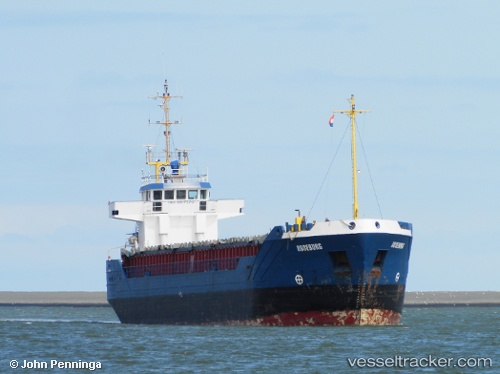
Find the position of the vessel Roseburg on the map. The latter are known coordinates and path.
marine traffic ship tracker show on live map
The current position of vessel Roseburg is 59.0289 lat / 21.9587 lng. Updated: 2024-11-26 06:17:35 UTCCurrently sailing under the flag of Antigua Barbuda
Roseburg built in 1991 year
Port of registry:
Saint John's (capital city of Antigua and Barbuda)Deadweight:
3005 tPayload_mass:
3005 tonneGross tonnage:
1999Beam:
12.5 metreService entry:
1991-01-01T00:00:00ZManufacturer:
Ferus Smit (shipyard in Westerbroek, Netherlands).jpg)
Details:
Last coordinates of the vessel:
UTC, 59.046, 22.0065, course: 245, speed: 7.2UTC, 59.0289, 21.9587, course: 228, speed: 7.3
UTC, 59.0289, 21.9587, course: 228, speed: 7.3
2024-11-26 06:17:35 UTC, 59.0289, 21.9587, course: 228, speed: 7.3