 vesseltracker.com
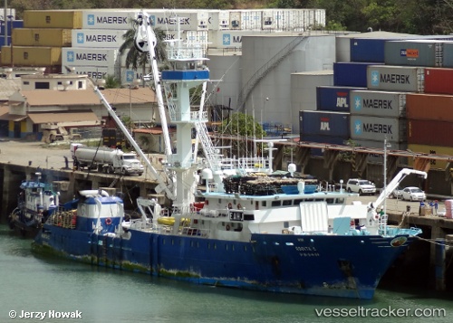
Find the position of the vessel Rosita C on the map. The latter are known coordinates and path.
marine traffic ship tracker show on live map
The current position of vessel Rosita C is -0.221527 lat / -166.48 lng. Updated: 2024-11-26 06:43:17 UTCPayload_mass:
2200 tonneGross tonnage:
2502Service entry:
2000-01-01T00:00:00ZDetails:
Last coordinates of the vessel:
UTC, -0.670538, -166.473, course: 3, speed: 11.4UTC, -0.619173, -166.473, course: 3, speed: 11.5
UTC, -0.343952, -166.476, course: 4, speed: 11.9
2024-11-26 06:43:17 UTC, -0.221527, -166.48, course: 3, speed: 12.1