 vesseltracker.com
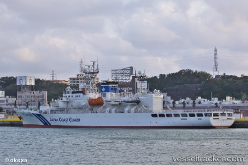
Vessel Ryukyu IMO: 9197167, MMSI: 431293000 Patrol Vessel
Live AIS position:
UTC. 22 nm SE of Kumejima),
updated 2026-02-17 02:10:09 UTC.
Find the position of the vessel Ryukyu on the map. The latter are known coordinates and path.
marine traffic ship tracker show on live map
The current position of vessel Ryukyu is 26.02448 lat / 126.88287 lng. Updated: 2026-02-17 02:10:09 UTCDetails:
Last coordinates of the vessel:
2026-02-17 02:10:09 UTC, 26.02448, 126.88287, course: 266, speed: 18.6