 vesseltracker.com
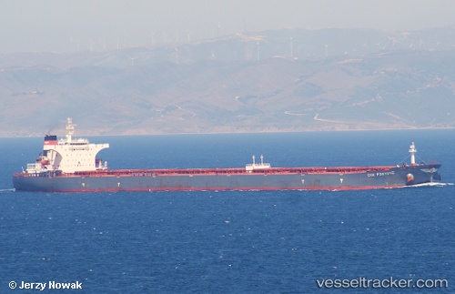
Find the position of the vessel S Cape on the map. The latter are known coordinates and path.
marine traffic ship tracker show on live map
The current position of vessel S Cape is 50.532085 lat / 1.0277283333333 lng. Updated: 2025-11-06 00:23:52 UTCCurrently sailing under the flag of Marshall Is
S Cape built in 2003 year
Deadweight:
175526 tDetails:
Last coordinates of the vessel:
UTC, 50.340693333333, 0.13599833333333, course: 75, speed: 12.9UTC, 50.404545, 0.45426, course: 74, speed: 12
UTC, 50.462453333333, 0.74903, course: 76, speed: 11.8
2025-11-06 00:23:52 UTC, 50.532085, 1.0277283333333, course: 50, speed: 12