 vesseltracker.com
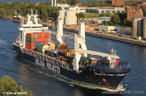
Vessel JADE IMO: 9418999, MMSI: 305005400 General Cargo
UTC, 12.45733, 83.74671, course: 110, speed: 11.9
UTC, 12.45733, 83.74671, course: 110, speed: 11.9
2026-03-03 19:52:31 UTC, 12.45733, 83.74671, course: 110, speed: 11.9
Live Vessel JADE Analytics (details, animations, etc.)
Live AIS position: UTC. 201 nm E of Nandiambakkam), updated 2026-03-03 19:52:31 UTC.Find the position of the vessel JADE on the map. The latter are known coordinates and path.
marine traffic ship tracker show on live map
The current position of vessel JADE is 12.45733 lat / 83.74671 lng. Updated: 2026-03-03 19:52:31 UTCCurrently sailing under the flag of Antigua and Barbuda
Details:
Last coordinates of the vessel:
UTC, 12.45733, 83.74671, course: 110, speed: 11.9UTC, 12.45733, 83.74671, course: 110, speed: 11.9
UTC, 12.45733, 83.74671, course: 110, speed: 11.9
2026-03-03 19:52:31 UTC, 12.45733, 83.74671, course: 110, speed: 11.9