 vesseltracker.com
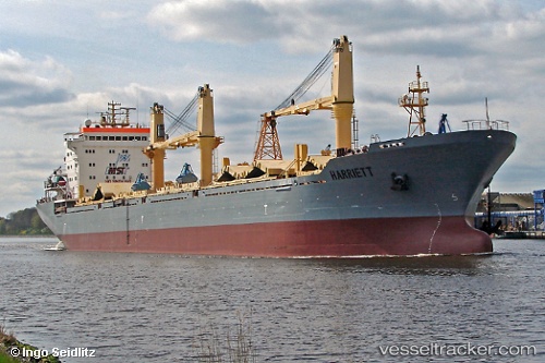
Vessel SIBERIA IMO: 9239458, MMSI: 273217210 Bulk Carrier
Live Vessel SIBERIA Analytics (details, animations, etc.)
Live AIS position: UTC. 14 nm SE of Taman), updated 2026-02-25 14:28:44 UTC.Find the position of the vessel SIBERIA on the map. The latter are known coordinates and path.
marine traffic ship tracker show on live map
The current position of vessel SIBERIA is 45.11531 lat / 37.01256 lng. Updated: 2026-02-25 14:28:44 UTCCurrently sailing under the flag of Russia
SIBERIA built in 2002 year
Deadweight:
25565 tDetails:
Last coordinates of the vessel:
2026-02-25 14:28:44 UTC, 45.11531, 37.01256, course: 322, speed: 9.6