 vesseltracker.com
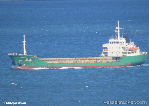
Find the position of the vessel Silver Way on the map. The latter are known coordinates and path.
marine traffic ship tracker show on live map
The current position of vessel Silver Way is 43.06873 lat / 131.88876 lng. Updated: 2025-10-31 11:30:02 UTCCurrently sailing under the flag of Sierra Leone
Details:
Last coordinates of the vessel:
UTC, 43.06873, 131.88876, course: 118, speed: 7.8UTC, 43.06873, 131.88876, course: 118, speed: 7.8
UTC, 43.06873, 131.88876, course: 118, speed: 7.8
2025-10-31 11:30:02 UTC, 43.06873, 131.88876, course: 118, speed: 7.8
Track of the vessel in the last 14 days
The ship also appears on the maps: