 vesseltracker.com
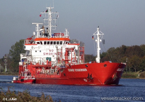
Vessel SAMSON IMO: 9114751, MMSI: 273216560 Chemical/Oil Products Tanker
UTC, 42.64167, 132.86333, course: -1, speed: 14
UTC, 42.46998, 132.92050, course: -1, speed: 7.6
2026-03-04 13:26:40 UTC, 42.57833, 133.90500, course: -1, speed: 11
Live Vessel SAMSON Analytics (details, animations, etc.)
Live AIS position: UTC. 19 nm S of Preobrazheniye), updated 2026-03-04 13:26:40 UTC.Find the position of the vessel SAMSON on the map. The latter are known coordinates and path.
marine traffic ship tracker show on live map
The current position of vessel SAMSON is 42.57833 lat / 133.90500 lng. Updated: 2026-03-04 13:26:40 UTCCurrently sailing under the flag of Russia
SAMSON built in 1996 year
Deadweight:
5870 tDetails:
Last coordinates of the vessel:
UTC, 42.67833, 132.40334, course: -1, speed: 13UTC, 42.64167, 132.86333, course: -1, speed: 14
UTC, 42.46998, 132.92050, course: -1, speed: 7.6
2026-03-04 13:26:40 UTC, 42.57833, 133.90500, course: -1, speed: 11