 vesseltracker.com
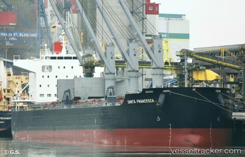
Find the position of the vessel Santa Francesca on the map. The latter are known coordinates and path.
marine traffic ship tracker show on live map
The current position of vessel Santa Francesca is 37.2291 lat / 11.6748 lng. Updated: 2024-04-23 06:57:29 UTCCurrently sailing under the flag of Marshall Is
Speed:
15.7 knotPayload_mass:
61250 tonneGross tonnage:
34810Service entry:
2016-01-01T00:00:00ZManufacturer:
Shin Kasado DockyardDetails:
Last coordinates of the vessel:
UTC, 37.2291, 11.6748, course: 301, speed: 10UTC, 37.2291, 11.6748, course: 301, speed: 10
UTC, 37.2291, 11.6748, course: 301, speed: 10
2024-04-23 06:57:29 UTC, 37.2291, 11.6748, course: 301, speed: 10