 vesseltracker.com
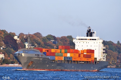
Find the position of the vessel '538009458' on the map. The latter are known coordinates and path.
marine traffic ship tracker show on live map
The current position of vessel '538009458' is 36.3451 lat / 23.2525 lng. Updated: 2024-04-27 01:17:48 UTCPort of registry:
Majuro (coral atoll, capital of the Marshall Islands)Payload_mass:
15315 tonneGross tonnage:
14278Service entry:
2001-01-01T00:00:00ZManufacturer:
HJ Shipbuilding & Construction (company)Details:
Last coordinates of the vessel:
UTC, 35.8979, 22.7735, course: 61, speed: 10.3UTC, 36.0141, 23.0413, course: 61, speed: 10.1
UTC, 36.1717, 23.2043, course: 17, speed: 10.1
2024-04-27 01:17:48 UTC, 36.3451, 23.2525, course: 10, speed: 9.8