 vesseltracker.com
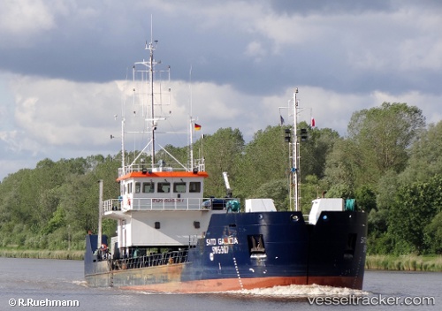
Find the position of the vessel Sato Galicia on the map. The latter are known coordinates and path.
marine traffic ship tracker show on live map
The current position of vessel Sato Galicia is 36.1275 lat / -5.44083 lng. Updated: 2024-04-26 12:33:06 UTCPort of registry:
Vigo (municipality in north-west Spain in Pontevedra province)Payload_mass:
1755 tonneGross tonnage:
993Service entry:
2007-01-01T00:00:00ZDetails:
Last coordinates of the vessel:
UTC, 36.1276, -5.44065, course: 260, speed: 0UTC, 36.1276, -5.44064, course: 260, speed: 0
UTC, 36.1275, -5.44088, course: 262, speed: 0
2024-04-26 12:33:06 UTC, 36.1275, -5.44083, course: 261, speed: 0