 vesseltracker.com
Find the position of the vessel Sc Connector on the map. The latter are known coordinates and path.
marine traffic ship tracker show on live map
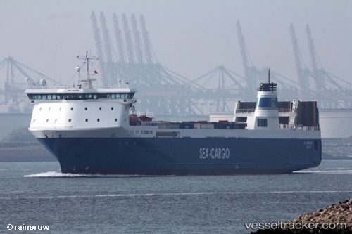
The current position of vessel Sc Connector is 52.9912 lat / 4.10137 lng. Updated: 2025-07-06 22:27:47 UTCCurrently sailing under the flag of Malta
Sc Connector built in 1997 year
Deadweight:
8843 tDetails:
Last coordinates of the vessel:
UTC, 53.4522, 4.56471, course: 194, speed: 13.9UTC, 53.3084, 4.49416, course: 195, speed: 13.6
UTC, 53.0019, 4.12144, course: 228, speed: 12.6
2025-07-06 22:27:47 UTC, 52.9912, 4.10137, course: 230, speed: 12.3