 vesseltracker.com
Find the position of the vessel MERMAR on the map. The latter are known coordinates and path.
marine traffic ship tracker show on live map
The current position of vessel MERMAR is 37.845 lat / 131.342 lng. Updated: 2024-04-27 00:58:33 UTCCurrently sailing under the flag of Panama
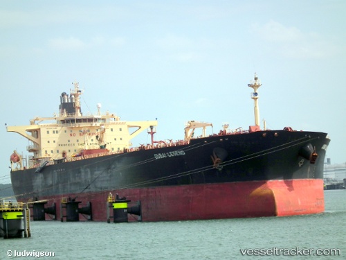
MERMAR built in 2002 year
Deadweight:
112661 tGross tonnage:
62247Service entry:
2002-01-01T00:00:00ZManufacturer:
Hyundai Samho Heavy Industries (company)Details:
Last coordinates of the vessel:
UTC, 38.0483, 131.415, course: -1, speed: 11UTC, 38.0483, 131.415, course: -1, speed: 11
UTC, 37.845, 131.342, course: -1, speed: 11
2024-04-27 00:58:33 UTC, 37.845, 131.342, course: -1, speed: 11