 vesseltracker.com
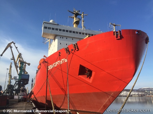
Find the position of the vessel SEVMORPUT on the map. The latter are known coordinates and path.
marine traffic ship tracker show on live map
The current position of vessel SEVMORPUT is 69.04926 lat / 33.07326 lng. Updated: 2025-03-05 06:26:20 UTCCurrently sailing under the flag of Russia
SEVMORPUT built in 1988 year
Deadweight:
33240 tDetails:
Last coordinates of the vessel:
2025-03-05 06:26:20 UTC, 69.04926, 33.07326, course: -1, speed: 0Track of the vessel in the last 14 days
The ship also appears on the maps:
- All icebreakers in one map
- Доставка грузов в б. Север Енисейского залива (проект Восток Ойл)
- Доставка грузов в морской порт Певек
- СМП-22
- СМП-2
- Атомфлот
- СМП-22/02
- Ice Class LNG Tankers \'\'Novatek\'\' & RUSSIAN nuclear icebreakers
- Northern Sea Route. General Cargo Ships & Russian icebreakers
- AVM_1_FEB_2022
- Маршруты северного завоза
- 2022 - July -15
- Autumn2022
- Атомные ледоколы
- Суда на потоке СМП
- Авария Balticconnector
- Карта газовозов
- Атомные ледоколы -2025
- Аурстофершандия1
- Карта ледоколов мира / Icebrakers worldwide map