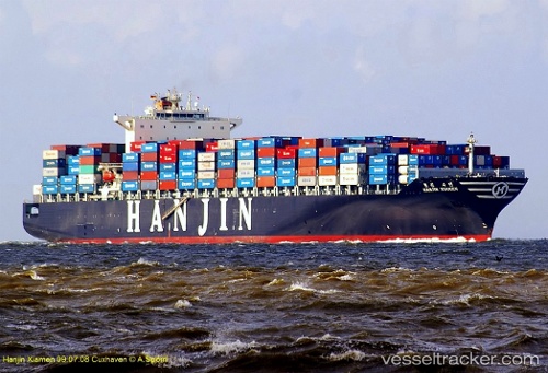
 vesseltracker.com
Find the position of the vessel SM LONG BEACH on the map. The latter are known coordinates and path.
marine traffic ship tracker show on live map
The current position of vessel SM LONG BEACH is 41.9352 lat / 144.1 lng. Updated: 2025-05-19 06:00:37 UTCCurrently sailing under the flag of Korea (Republic of)
SM LONG BEACH built in 2007 year
Port of registry:
Panama City (capital of Panama)Deadweight:
80855 tGross tonnage:
74962Service entry:
2007-01-01T00:00:00ZManufacturer:
Hyundai Heavy Industries (South Korean shipbuilding manufacturer)
Details:
Last coordinates of the vessel:
UTC, 41.7826, 143.723, course: 61, speed: 18.9UTC, 41.918, 144.049, course: 67, speed: 19.6
UTC, 41.9311, 144.088, course: 69, speed: 19.7
2025-05-19 06:00:37 UTC, 41.9352, 144.1, course: 70, speed: 19.7