 vesseltracker.com
Live AIS position:
8.94919° N, 79.56721° W UTC. Near Rodman),
updated 2025-11-20 04:23:47 UTC.
Find the position of the vessel Sonne on the map. The latter are known coordinates and path.
marine traffic ship tracker show on live map
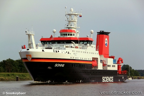
The current position of vessel Sonne is 8.94919 lat / -79.56721 lng. Updated: 2025-11-20 04:23:47 UTCCurrently sailing under the flag of Germany
Sonne built in 2014 year
Deadweight:
6500 tDetails:
Last coordinates of the vessel:
UTC, 8.94918, -79.56722, course: 354, speed: 0UTC, 8.94918, -79.56723, course: 354, speed: 0
UTC, 8.94918, -79.56720, course: 354, speed: 0.1
2025-11-20 04:23:47 UTC, 8.94919, -79.56721, course: 354, speed: 0.3
Track of the vessel in the last 14 days
The ship also appears on the maps: