 vesseltracker.com
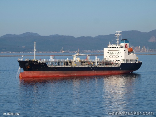
Find the position of the vessel Sunny Noah on the map. The latter are known coordinates and path.
marine traffic ship tracker show on live map
The current position of vessel Sunny Noah is 41.78683 lat / 141.32448 lng. Updated: 2025-11-15 15:58:54 UTCDetails:
Last coordinates of the vessel:
UTC, 41.61648, 141.43031, course: 326, speed: 10UTC, 41.62300, 141.42690, course: 326, speed: 10.2
UTC, 41.77667, 141.33060, course: 336, speed: 11.8
2025-11-15 15:58:54 UTC, 41.78683, 141.32448, course: 337, speed: 11.7