 vesseltracker.com
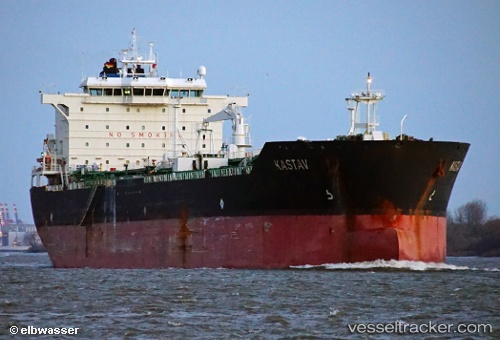
Vessel T Jungfrau IMO: 9389289, MMSI: 538008565 Chemical Oil Products Tanker
UTC, 30.73120, -32.84304, course: 230, speed: 12.2
UTC, 30.44833, -33.22333, course: -1, speed: 11
2026-02-25 06:19:22 UTC, 30.17215, -33.58893, course: 230, speed: 12
Live AIS position:
UTC. 110 nm SE of Sde Uziyahu),
updated 2026-02-25 06:19:22 UTC.
Find the position of the vessel T Jungfrau on the map. The latter are known coordinates and path.
marine traffic ship tracker show on live map
The current position of vessel T Jungfrau is 30.17215 lat / -33.58893 lng. Updated: 2026-02-25 06:19:22 UTCDetails:
Last coordinates of the vessel:
UTC, 30.98833, -32.48833, course: -1, speed: 10UTC, 30.73120, -32.84304, course: 230, speed: 12.2
UTC, 30.44833, -33.22333, course: -1, speed: 11
2026-02-25 06:19:22 UTC, 30.17215, -33.58893, course: 230, speed: 12