 vesseltracker.com
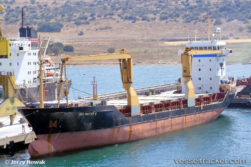
Find the position of the vessel T mare on the map. The latter are known coordinates and path.
marine traffic ship tracker show on live map
The current position of vessel T mare is 35.91696 lat / -5.02581 lng. Updated: 2025-11-17 16:31:13 UTCCurrently sailing under the flag of Panama
Details:
Last coordinates of the vessel:
UTC, 35.93546, -4.75524, course: 262, speed: 4.8UTC, 35.92416, -4.88357, course: 261, speed: 4.5
UTC, 35.92005, -4.93999, course: 262, speed: 4.8
2025-11-17 16:31:13 UTC, 35.91696, -5.02581, course: 220, speed: 5