 vesseltracker.com
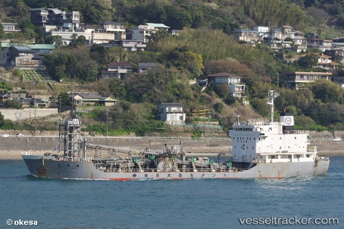
Vessel TAIHO IMO: 9047192, MMSI: 525301290 Cement Carrier
Live AIS position:
UTC. Near Durres),
updated 2024-07-01 05:19:36 UTC.
Find the position of the vessel TAIHO on the map. The latter are known coordinates and path.
marine traffic ship tracker show on live map
The current position of vessel TAIHO is 41.30429 lat / 19.45254 lng. Updated: 2024-07-01 05:19:36 UTCCurrently sailing under the flag of Indonesia
TAIHO built in 1992 year
Deadweight:
5618 tDetails:
Last coordinates of the vessel:
2024-07-01 05:19:36 UTC, 41.30429, 19.45254, course: 346, speed: 0