 vesseltracker.com
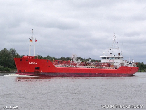
Vessel '352978191' IMO: 9190327, MMSI: 352978191
UTC, -4.55882, 11.60909, course: 8, speed: 0.1
UTC, -4.55878, 11.60956, course: 323, speed: 0.1
2026-02-01 09:58:16 UTC, -4.55867, 11.60993, course: 302, speed: 0.1
Live AIS position:
UTC. 19 nm NW of Pointe Noire),
updated 2026-02-01 09:58:16 UTC.
Find the position of the vessel '352978191' on the map. The latter are known coordinates and path.
marine traffic ship tracker show on live map
The current position of vessel '352978191' is -4.55867 lat / 11.60993 lng. Updated: 2026-02-01 09:58:16 UTCDetails:
Last coordinates of the vessel:
UTC, -4.55885, 11.60908, course: 13, speed: 0UTC, -4.55882, 11.60909, course: 8, speed: 0.1
UTC, -4.55878, 11.60956, course: 323, speed: 0.1
2026-02-01 09:58:16 UTC, -4.55867, 11.60993, course: 302, speed: 0.1