 vesseltracker.com
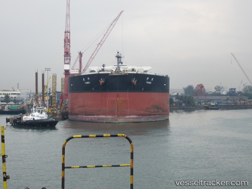
Vessel TAMBA IMO: 9343405, MMSI: 636021039 Crude Oil Tanker
UTC, 15.44871, 69.12148, course: 130, speed: 10.7
UTC, 15.44871, 69.12148, course: 130, speed: 10.7
2026-01-30 07:38:09 UTC, 15.20450, 69.38150, course: 136, speed: 10.6
Live AIS position:
UTC. 249 nm SW of RATNAGIRI),
updated 2026-01-30 07:38:09 UTC.
Find the position of the vessel TAMBA on the map. The latter are known coordinates and path.
marine traffic ship tracker show on live map
The current position of vessel TAMBA is 15.20450 lat / 69.38150 lng. Updated: 2026-01-30 07:38:09 UTCCurrently sailing under the flag of Liberia
TAMBA built in 2009 year
Deadweight:
302107 tDetails:
Last coordinates of the vessel:
UTC, 15.69900, 68.86232, course: 135, speed: 13.9UTC, 15.44871, 69.12148, course: 130, speed: 10.7
UTC, 15.44871, 69.12148, course: 130, speed: 10.7
2026-01-30 07:38:09 UTC, 15.20450, 69.38150, course: 136, speed: 10.6