 vesseltracker.com
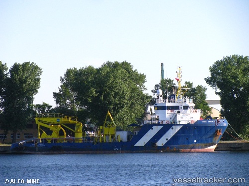
Vessel TANIRI IMO: 9438664, MMSI: 725003242 Offshore Supply Ship
UTC, -39.80682, -73.24046, course: -1, speed: 0
UTC, -39.80676, -73.24049, course: -1, speed: 0
2026-01-30 05:15:51 UTC, -39.80681, -73.24043, course: -1, speed: 0
Live AIS position:
UTC. Near Valdivia),
updated 2026-01-30 05:15:51 UTC.
Find the position of the vessel TANIRI on the map. The latter are known coordinates and path.
marine traffic ship tracker show on live map
The current position of vessel TANIRI is -39.80681 lat / -73.24043 lng. Updated: 2026-01-30 05:15:51 UTCCurrently sailing under the flag of Chile
TANIRI built in 2008 year
Deadweight:
1126 tDetails:
Last coordinates of the vessel:
UTC, -39.80686, -73.24044, course: -1, speed: 0UTC, -39.80682, -73.24046, course: -1, speed: 0
UTC, -39.80676, -73.24049, course: -1, speed: 0
2026-01-30 05:15:51 UTC, -39.80681, -73.24043, course: -1, speed: 0