 vesseltracker.com
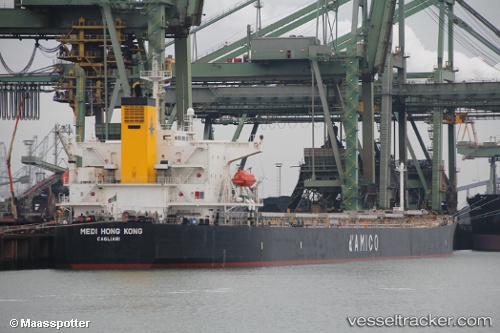
Vessel The Unity IMO: 9301043, MMSI: 351935000 Bulk Carrier
UTC, -24.13167, -46.27333, course: -1, speed: 0
UTC, -24.13167, -46.27167, course: -1, speed: 0
2026-01-31 06:32:47 UTC, -24.13271, -46.27037, course: 236, speed: 0.8
Live AIS position:
UTC. Near Guarujá),
updated 2026-01-31 06:32:47 UTC.
Find the position of the vessel The Unity on the map. The latter are known coordinates and path.
marine traffic ship tracker show on live map
The current position of vessel The Unity is -24.13271 lat / -46.27037 lng. Updated: 2026-01-31 06:32:47 UTCCurrently sailing under the flag of Panama
Details:
Last coordinates of the vessel:
UTC, -24.13167, -46.27333, course: -1, speed: 0UTC, -24.13167, -46.27333, course: -1, speed: 0
UTC, -24.13167, -46.27167, course: -1, speed: 0
2026-01-31 06:32:47 UTC, -24.13271, -46.27037, course: 236, speed: 0.8