 vesseltracker.com
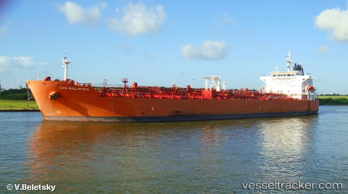
Vessel 'TORM MALAYSIA' IMO: 9443164, MMSI: 219256000
UTC, 4.79667, -12.63833, course: -1, speed: 11
UTC, 4.67544, -12.27524, course: 109, speed: 11.1
2026-01-30 05:34:45 UTC, 4.58667, -12.01167, course: -1, speed: 13
Live AIS position:
UTC. 127 nm SW of Monrovia),
updated 2026-01-30 05:34:45 UTC.
Find the position of the vessel 'TORM MALAYSIA' on the map. The latter are known coordinates and path.
marine traffic ship tracker show on live map
The current position of vessel 'TORM MALAYSIA' is 4.58667 lat / -12.01167 lng. Updated: 2026-01-30 05:34:45 UTCDetails:
Last coordinates of the vessel:
UTC, 4.94583, -13.13495, course: 107, speed: 11.6UTC, 4.79667, -12.63833, course: -1, speed: 11
UTC, 4.67544, -12.27524, course: 109, speed: 11.1
2026-01-30 05:34:45 UTC, 4.58667, -12.01167, course: -1, speed: 13