 vesseltracker.com
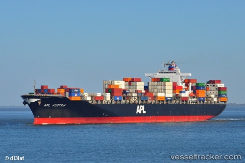
Vessel TS DUBAI IMO: 9444285, MMSI: 538009617 Container Ship
Live AIS position:
UTC. Near Butterwick),
updated 2025-07-14 17:55:39 UTC.
Find the position of the vessel TS DUBAI on the map. The latter are known coordinates and path.
marine traffic ship tracker show on live map
The current position of vessel TS DUBAI is 53.03028 lat / 0.02475 lng. Updated: 2025-07-14 17:55:39 UTCCurrently sailing under the flag of Marshall Islands
TS DUBAI built in 2007 year
Deadweight:
72807 tDetails:
Last coordinates of the vessel:
2025-07-14 17:55:39 UTC, 53.03028, 0.02475, course: 79, speed: 32