 vesseltracker.com
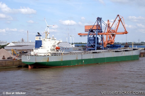
Vessel TANHO IMO: 9279824, MMSI: 668116214 Dredging or underwater ops
UTC, 31.15303, 33.82955, course: 199, speed: 0
UTC, 31.15303, 33.82955, course: 199, speed: 0
2026-02-26 13:21:43 UTC, 31.15303, 33.82955, course: 199, speed: 0
Live AIS position:
UTC. Near AL ARISH),
updated 2026-02-26 13:21:43 UTC.
Find the position of the vessel TANHO on the map. The latter are known coordinates and path.
marine traffic ship tracker show on live map
The current position of vessel TANHO is 31.15303 lat / 33.82955 lng. Updated: 2026-02-26 13:21:43 UTCCurrently sailing under the flag of Sao Tome and Principe
Details:
Last coordinates of the vessel:
UTC, 31.15303, 33.82954, course: 199, speed: 0UTC, 31.15303, 33.82955, course: 199, speed: 0
UTC, 31.15303, 33.82955, course: 199, speed: 0
2026-02-26 13:21:43 UTC, 31.15303, 33.82955, course: 199, speed: 0