 vesseltracker.com
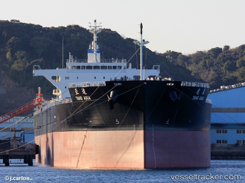
Vessel Taho Asia IMO: 9805788, MMSI: 374640000 Bulk Carrier
UTC, -23.76722, -42.21704, course: 102, speed: 10.9
UTC, -23.83529, -41.71534, course: -1, speed: 10.1
2026-03-01 23:57:01 UTC, -23.86290, -41.40210, course: 100, speed: 10
Live AIS position:
UTC. 64 nm SE of Arraial do Cabo),
updated 2026-03-01 23:57:01 UTC.
Find the position of the vessel Taho Asia on the map. The latter are known coordinates and path.
marine traffic ship tracker show on live map
The current position of vessel Taho Asia is -23.86290 lat / -41.40210 lng. Updated: 2026-03-01 23:57:01 UTCDetails:
Last coordinates of the vessel:
UTC, -23.73552, -42.43317, course: 104, speed: 10.8UTC, -23.76722, -42.21704, course: 102, speed: 10.9
UTC, -23.83529, -41.71534, course: -1, speed: 10.1
2026-03-01 23:57:01 UTC, -23.86290, -41.40210, course: 100, speed: 10