 vesseltracker.com
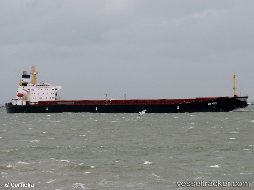
Vessel TAI HANG 3 IMO: 9128257, MMSI: 414635000 Bulk Carrier
UTC, 1.64167, 119.19333, course: -1, speed: 10
UTC, 1.92167, 119.24500, course: -1, speed: 10
2026-03-03 04:14:38 UTC, 2.43833, 119.32500, course: -1, speed: 10
Live AIS position:
UTC. 75 nm E of Tanjungbatu),
updated 2026-03-03 04:14:38 UTC.
Find the position of the vessel TAI HANG 3 on the map. The latter are known coordinates and path.
marine traffic ship tracker show on live map
The current position of vessel TAI HANG 3 is 2.43833 lat / 119.32500 lng. Updated: 2026-03-03 04:14:38 UTCCurrently sailing under the flag of China
Details:
Last coordinates of the vessel:
UTC, 1.44333, 119.16667, course: -1, speed: 9UTC, 1.64167, 119.19333, course: -1, speed: 10
UTC, 1.92167, 119.24500, course: -1, speed: 10
2026-03-03 04:14:38 UTC, 2.43833, 119.32500, course: -1, speed: 10