 vesseltracker.com
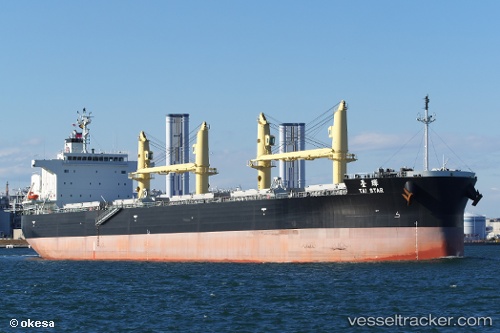
Vessel Tai Star IMO: 9774460, MMSI: 354857000 Bulk Carrier
UTC, 29.36904, 34.95937, course: 51, speed: 0
UTC, 29.36848, 34.96038, course: 51, speed: 0.1
2026-03-02 21:58:42 UTC, 29.36848, 34.96038, course: 51, speed: 0.1
Live AIS position:
UTC. Near AQABA INDUSTRIAL),
updated 2026-03-02 21:58:42 UTC.
Find the position of the vessel Tai Star on the map. The latter are known coordinates and path.
marine traffic ship tracker show on live map
The current position of vessel Tai Star is 29.36848 lat / 34.96038 lng. Updated: 2026-03-02 21:58:42 UTCDetails:
Last coordinates of the vessel:
UTC, 29.36894, 34.95945, course: 51, speed: 0UTC, 29.36904, 34.95937, course: 51, speed: 0
UTC, 29.36848, 34.96038, course: 51, speed: 0.1
2026-03-02 21:58:42 UTC, 29.36848, 34.96038, course: 51, speed: 0.1