 vesseltracker.com
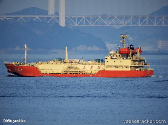
Vessel Taikasan IMO: 9749477, MMSI: 431412000 Lpg Tanker
UTC, 34.62792, 135.13971, course: 47, speed: 0.1
UTC, 34.62836, 135.13927, course: 76, speed: 0.1
2026-03-03 07:33:50 UTC, 34.66550, 135.18697, course: -1, speed: 0
Live AIS position:
UTC. Near Kobe),
updated 2026-03-03 07:33:50 UTC.
Find the position of the vessel Taikasan on the map. The latter are known coordinates and path.
marine traffic ship tracker show on live map
The current position of vessel Taikasan is 34.66550 lat / 135.18697 lng. Updated: 2026-03-03 07:33:50 UTCCurrently sailing under the flag of Japan
Details:
Last coordinates of the vessel:
UTC, 34.62809, 135.13945, course: 53, speed: 0.2UTC, 34.62792, 135.13971, course: 47, speed: 0.1
UTC, 34.62836, 135.13927, course: 76, speed: 0.1
2026-03-03 07:33:50 UTC, 34.66550, 135.18697, course: -1, speed: 0