 vesseltracker.com
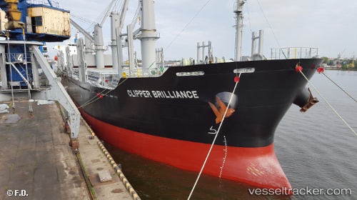
Vessel DENIZ IMO: 9738727, MMSI: 538011173 Cargo
UTC, 0.77127, 55.92534, course: 208, speed: 13.4
UTC, 0.31707, 55.66554, course: 207, speed: 13
2026-03-03 16:29:43 UTC, -0.10443, 55.40807, course: 218, speed: 12.6
Live AIS position:
UTC. 252 nm N of Anse Kerlan),
updated 2026-03-03 16:29:43 UTC.
Find the position of the vessel DENIZ on the map. The latter are known coordinates and path.
marine traffic ship tracker show on live map
The current position of vessel DENIZ is -0.10443 lat / 55.40807 lng. Updated: 2026-03-03 16:29:43 UTCCurrently sailing under the flag of Marshall Islands
Details:
Last coordinates of the vessel:
UTC, 1.20748, 56.17588, course: 206, speed: 13.2UTC, 0.77127, 55.92534, course: 208, speed: 13.4
UTC, 0.31707, 55.66554, course: 207, speed: 13
2026-03-03 16:29:43 UTC, -0.10443, 55.40807, course: 218, speed: 12.6