 vesseltracker.com
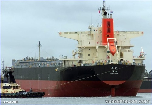
Vessel Taiyo IMO: 9621302, MMSI: 636016608 Bulk Carrier
UTC, -29.09111, 153.70963, course: 13, speed: 8.5
UTC, -28.85476, 153.76064, course: 10, speed: 8.5
2026-02-01 08:26:48 UTC, -28.46615, 153.80257, course: 2, speed: 9.1
Live AIS position:
UTC. 14 nm SE of Hastings Point),
updated 2026-02-01 08:26:48 UTC.
Find the position of the vessel Taiyo on the map. The latter are known coordinates and path.
marine traffic ship tracker show on live map
The current position of vessel Taiyo is -28.46615 lat / 153.80257 lng. Updated: 2026-02-01 08:26:48 UTCCurrently sailing under the flag of Liberia
Details:
Last coordinates of the vessel:
UTC, -29.31735, 153.66145, course: 10, speed: 8.9UTC, -29.09111, 153.70963, course: 13, speed: 8.5
UTC, -28.85476, 153.76064, course: 10, speed: 8.5
2026-02-01 08:26:48 UTC, -28.46615, 153.80257, course: 2, speed: 9.1