 vesseltracker.com
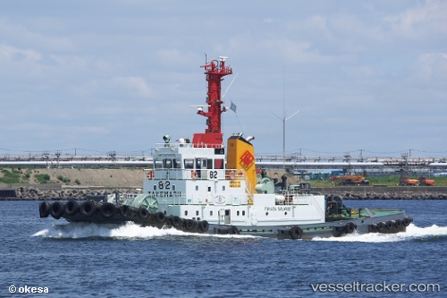
Vessel Take Maru No82 IMO: 9203033, MMSI: 431300812 Tug
UTC, 35.50244, 139.74271, course: 237, speed: 0
UTC, 35.50243, 139.74263, course: 237, speed: 0
2026-01-31 07:46:04 UTC, 35.50251, 139.74268, course: 237, speed: 0.1
Live AIS position:
UTC. Near Kawasaki),
updated 2026-01-31 07:46:04 UTC.
Find the position of the vessel Take Maru No82 on the map. The latter are known coordinates and path.
marine traffic ship tracker show on live map
The current position of vessel Take Maru No82 is 35.50251 lat / 139.74268 lng. Updated: 2026-01-31 07:46:04 UTCDetails:
Last coordinates of the vessel:
UTC, 35.50196, 139.74193, course: 160, speed: 1.7UTC, 35.50244, 139.74271, course: 237, speed: 0
UTC, 35.50243, 139.74263, course: 237, speed: 0
2026-01-31 07:46:04 UTC, 35.50251, 139.74268, course: 237, speed: 0.1