 vesseltracker.com
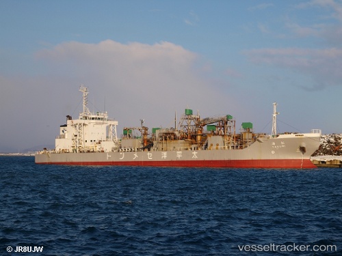
Vessel Takumi Maru IMO: 9281126, MMSI: 431501744 Pusher Tug
UTC, 34.61990, 135.35934, course: -1, speed: 11.9
UTC, 34.64627, 135.44044, course: -1, speed: 0
2026-01-31 01:56:09 UTC, 34.64626, 135.44044, course: -1, speed: 0
Live AIS position:
UTC. Near Osaka),
updated 2026-01-31 01:56:09 UTC.
Find the position of the vessel Takumi Maru on the map. The latter are known coordinates and path.
marine traffic ship tracker show on live map
The current position of vessel Takumi Maru is 34.64626 lat / 135.44044 lng. Updated: 2026-01-31 01:56:09 UTCDetails:
Last coordinates of the vessel:
UTC, 34.41054, 135.10516, course: -1, speed: 12.9UTC, 34.61990, 135.35934, course: -1, speed: 11.9
UTC, 34.64627, 135.44044, course: -1, speed: 0
2026-01-31 01:56:09 UTC, 34.64626, 135.44044, course: -1, speed: 0