 vesseltracker.com
Find the position of the vessel Talia on the map. The latter are known coordinates and path.
marine traffic ship tracker show on live map
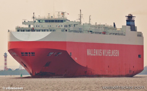
The current position of vessel Talia is 53.57564 lat / 8.55299 lng. Updated: 2025-10-17 10:11:43 UTCCurrently sailing under the flag of Bahamas
Talia built in 2006 year
Deadweight:
21021 tDetails:
Last coordinates of the vessel:
UTC, 53.87805, 7.74192, course: 100, speed: 7.7UTC, 53.80547, 8.12703, course: 143, speed: 18.3
UTC, 53.56971, 8.54972, course: 187, speed: 0.1
2025-10-17 10:11:43 UTC, 53.57564, 8.55299, course: 243, speed: 0