 vesseltracker.com
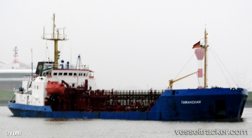
Vessel Tamanskiy IMO: 8727044, MMSI: 272283000 Chemical Oil Products Tanker
Live AIS position:
UTC. Near Vylkove),
updated 2024-12-19 08:26:58 UTC.
Find the position of the vessel Tamanskiy on the map. The latter are known coordinates and path.
marine traffic ship tracker show on live map
The current position of vessel Tamanskiy is 45.39685 lat / 29.58008 lng. Updated: 2024-12-19 08:26:58 UTCCurrently sailing under the flag of Ukraine
Tamanskiy built in 1985 year
Deadweight:
3079 tDetails:
Last coordinates of the vessel:
2024-12-19 08:26:58 UTC, 45.39685, 29.58008, course: 279, speed: 0