 vesseltracker.com
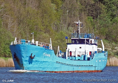
Vessel Tanais IMO: 6721008, MMSI: 261006820 General Cargo Ship
Live AIS position:
UTC. Near Elblag),
updated 2025-12-15 08:38:01 UTC.
Find the position of the vessel Tanais on the map. The latter are known coordinates and path.
marine traffic ship tracker show on live map
The current position of vessel Tanais is 54.17798 lat / 19.38419 lng. Updated: 2025-12-15 08:38:01 UTCCurrently sailing under the flag of Poland
Details:
Last coordinates of the vessel:
2025-12-15 08:38:01 UTC, 54.17798, 19.38419, course: -1, speed: 2.3