 vesseltracker.com
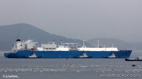
Vessel Tangguh Foja IMO: 9349007, MMSI: 370168000 Lng Tanker
UTC, 3.56167, 122.40833, course: -1, speed: 15
UTC, 3.33666, 121.82667, course: -1, speed: 16
2026-01-30 11:26:55 UTC, 3.16833, 121.38833, course: -1, speed: 15
Live AIS position:
UTC. Near Wusong Pt),
updated 2026-01-30 11:26:55 UTC.
Find the position of the vessel Tangguh Foja on the map. The latter are known coordinates and path.
marine traffic ship tracker show on live map
The current position of vessel Tangguh Foja is 3.16833 lat / 121.38833 lng. Updated: 2026-01-30 11:26:55 UTCDetails:
Last coordinates of the vessel:
UTC, 3.66865, 122.72308, course: 256, speed: 14UTC, 3.56167, 122.40833, course: -1, speed: 15
UTC, 3.33666, 121.82667, course: -1, speed: 16
2026-01-30 11:26:55 UTC, 3.16833, 121.38833, course: -1, speed: 15