 vesseltracker.com
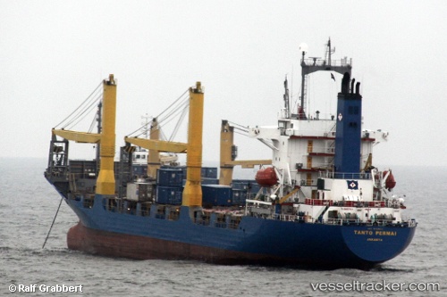
Vessel Tanto Express IMO: 9103154, MMSI: 525016549 Container Ship
UTC, -5.77000, 117.72833, course: -1, speed: 12
UTC, -5.57333, 118.06667, course: -1, speed: 12
2026-02-01 17:19:32 UTC, -5.44667, 118.23500, course: -1, speed: 12
Live AIS position:
UTC. 70 nm W of Panakukang),
updated 2026-02-01 17:19:32 UTC.
Find the position of the vessel Tanto Express on the map. The latter are known coordinates and path.
marine traffic ship tracker show on live map
The current position of vessel Tanto Express is -5.44667 lat / 118.23500 lng. Updated: 2026-02-01 17:19:32 UTCDetails:
Last coordinates of the vessel:
UTC, -5.86667, 117.22500, course: -1, speed: 12UTC, -5.77000, 117.72833, course: -1, speed: 12
UTC, -5.57333, 118.06667, course: -1, speed: 12
2026-02-01 17:19:32 UTC, -5.44667, 118.23500, course: -1, speed: 12