 vesseltracker.com
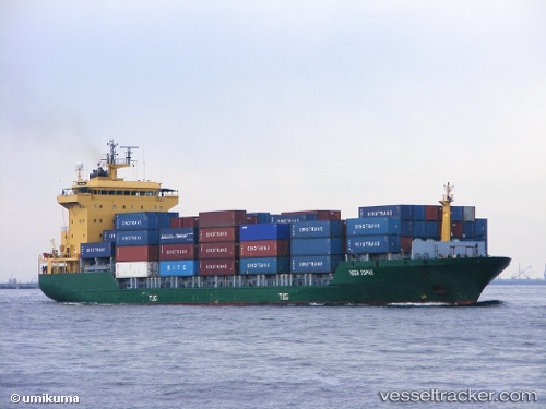
Vessel Tanto Tenang IMO: 9192040, MMSI: 525013036 Container Ship
UTC, -5.42871, 118.21092, course: -1, speed: 10.4
UTC, -5.31959, 118.51369, course: -1, speed: 10.7
2026-01-30 15:51:12 UTC, -5.22673, 119.00648, course: -1, speed: 10.3
Live AIS position:
UTC. 23 nm W of Panakukang),
updated 2026-01-30 15:51:12 UTC.
Find the position of the vessel Tanto Tenang on the map. The latter are known coordinates and path.
marine traffic ship tracker show on live map
The current position of vessel Tanto Tenang is -5.22673 lat / 119.00648 lng. Updated: 2026-01-30 15:51:12 UTCDetails:
Last coordinates of the vessel:
UTC, -5.56822, 117.89152, course: -1, speed: 9.9UTC, -5.42871, 118.21092, course: -1, speed: 10.4
UTC, -5.31959, 118.51369, course: -1, speed: 10.7
2026-01-30 15:51:12 UTC, -5.22673, 119.00648, course: -1, speed: 10.3