 vesseltracker.com
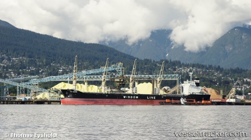
Vessel Tao Mariner IMO: 9487574, MMSI: 356158000 Bulk Carrier
UTC, 13.65532, 109.82980, course: 357, speed: 9.7
UTC, 13.94667, 109.81667, course: -1, speed: 10
2026-01-31 07:59:51 UTC, 14.32285, 109.80508, course: 358, speed: 9.3
Live AIS position:
UTC. 33 nm N of Tan Cang Qui Nhon),
updated 2026-01-31 07:59:51 UTC.
Find the position of the vessel Tao Mariner on the map. The latter are known coordinates and path.
marine traffic ship tracker show on live map
The current position of vessel Tao Mariner is 14.32285 lat / 109.80508 lng. Updated: 2026-01-31 07:59:51 UTCCurrently sailing under the flag of Panama
Tao Mariner built in 2010 year
Deadweight:
25064 tDetails:
Last coordinates of the vessel:
UTC, 13.26333, 109.85167, course: -1, speed: 9UTC, 13.65532, 109.82980, course: 357, speed: 9.7
UTC, 13.94667, 109.81667, course: -1, speed: 10
2026-01-31 07:59:51 UTC, 14.32285, 109.80508, course: 358, speed: 9.3