 vesseltracker.com
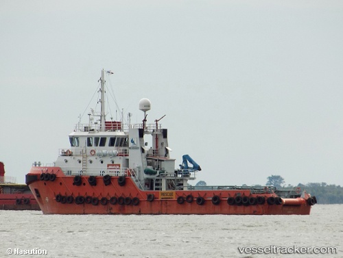
Vessel Teluk Bajau Sejati IMO: 8650435, MMSI: 525021170 Tug
2026-02-05 01:47:28 UTC, -0.53130, 117.15348, course: -1, speed: 0
Live AIS position:
UTC. Near SAMARINDA),
updated 2026-02-05 01:47:28 UTC.
Find the position of the vessel Teluk Bajau Sejati on the map. The latter are known coordinates and path.
marine traffic ship tracker show on live map
The current position of vessel Teluk Bajau Sejati is -0.53130 lat / 117.15348 lng. Updated: 2026-02-05 01:47:28 UTCDetails:
Last coordinates of the vessel:
UTC, -0.53130, 117.15348, course: -1, speed: 02026-02-05 01:47:28 UTC, -0.53130, 117.15348, course: -1, speed: 0