 vesseltracker.com
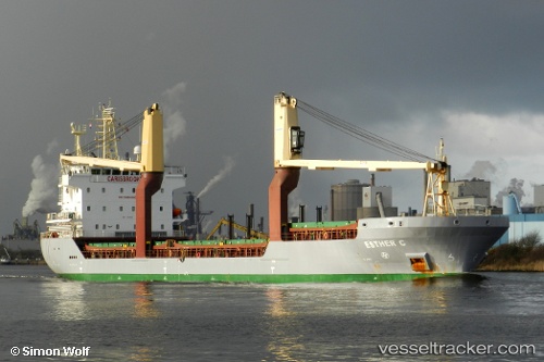
Vessel Tembaga Sea IMO: 9410076, MMSI: 525003575 Multi Purpose Carrier
UTC, -4.84817, 136.79851, course: 250, speed: 0
UTC, -4.84817, 136.79851, course: 250, speed: 0
2026-02-06 02:50:38 UTC, -4.84817, 136.79851, course: 250, speed: 0
Live AIS position:
UTC. Near Pomako),
updated 2026-02-06 02:50:38 UTC.
Find the position of the vessel Tembaga Sea on the map. The latter are known coordinates and path.
marine traffic ship tracker show on live map
The current position of vessel Tembaga Sea is -4.84817 lat / 136.79851 lng. Updated: 2026-02-06 02:50:38 UTCDetails:
Last coordinates of the vessel:
UTC, -4.84950, 136.79784, course: 337, speed: 0.1UTC, -4.84817, 136.79851, course: 250, speed: 0
UTC, -4.84817, 136.79851, course: 250, speed: 0
2026-02-06 02:50:38 UTC, -4.84817, 136.79851, course: 250, speed: 0