 vesseltracker.com
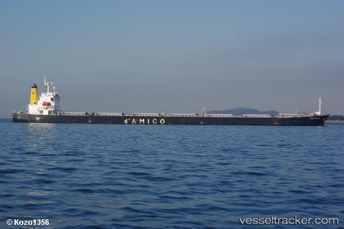
Vessel Tempo Loong IMO: 9279549, MMSI: 354592000 Bulk Carrier
UTC, 48.61900, 140.37842, course: 22, speed: 2.1
UTC, 48.60073, 140.36543, course: 16, speed: 0.7
2026-02-07 07:32:34 UTC, 48.58675, 140.35922, course: 17, speed: 0.8
Live AIS position:
UTC. 24 nm S of Sovetskaya Gavan),
updated 2026-02-07 07:32:34 UTC.
Find the position of the vessel Tempo Loong on the map. The latter are known coordinates and path.
marine traffic ship tracker show on live map
The current position of vessel Tempo Loong is 48.58675 lat / 140.35922 lng. Updated: 2026-02-07 07:32:34 UTCDetails:
Last coordinates of the vessel:
UTC, 48.58827, 140.36620, course: 22, speed: 5.2UTC, 48.61900, 140.37842, course: 22, speed: 2.1
UTC, 48.60073, 140.36543, course: 16, speed: 0.7
2026-02-07 07:32:34 UTC, 48.58675, 140.35922, course: 17, speed: 0.8