 vesseltracker.com
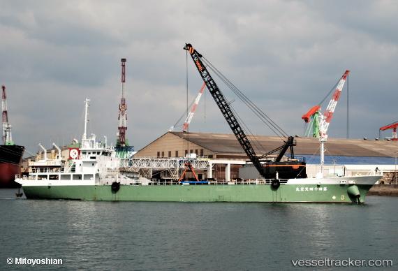
Vessel Teneimaru No.44 IMO: 9818981, MMSI: 431009147 General Cargo Ship
UTC, 33.77260, 131.75563, course: 100, speed: 10.3
UTC, 33.77260, 131.75563, course: 100, speed: 10.3
2026-02-05 08:03:12 UTC, 33.77260, 131.75563, course: 100, speed: 10.3
Live AIS position:
UTC. 14 nm S of Tokuyama),
updated 2026-02-05 08:03:12 UTC.
Find the position of the vessel Teneimaru No.44 on the map. The latter are known coordinates and path.
marine traffic ship tracker show on live map
The current position of vessel Teneimaru No.44 is 33.77260 lat / 131.75563 lng. Updated: 2026-02-05 08:03:12 UTCDetails:
Last coordinates of the vessel:
UTC, 34.70023, 135.27652, course: 99, speed: 10.3UTC, 33.77260, 131.75563, course: 100, speed: 10.3
UTC, 33.77260, 131.75563, course: 100, speed: 10.3
2026-02-05 08:03:12 UTC, 33.77260, 131.75563, course: 100, speed: 10.3