 vesseltracker.com
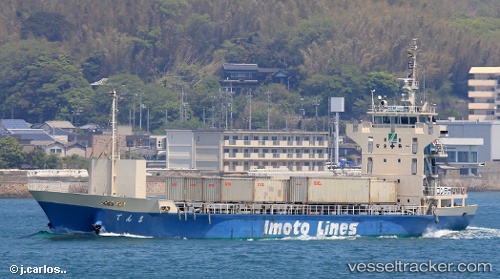
Vessel Tenma IMO: 9099248, MMSI: 431402072 Container Ship
UTC, 34.68546, 135.20982, course: 236, speed: 0
UTC, 34.68546, 135.20982, course: 236, speed: 0.1
2026-02-08 03:24:48 UTC, 34.68547, 135.20982, course: 236, speed: 0.1
Live AIS position:
UTC. Near Kobe),
updated 2026-02-08 03:24:48 UTC.
Find the position of the vessel Tenma on the map. The latter are known coordinates and path.
marine traffic ship tracker show on live map
The current position of vessel Tenma is 34.68547 lat / 135.20982 lng. Updated: 2026-02-08 03:24:48 UTCCurrently sailing under the flag of Japan
Details:
Last coordinates of the vessel:
UTC, 34.68546, 135.20981, course: 236, speed: 0UTC, 34.68546, 135.20982, course: 236, speed: 0
UTC, 34.68546, 135.20982, course: 236, speed: 0.1
2026-02-08 03:24:48 UTC, 34.68547, 135.20982, course: 236, speed: 0.1