 vesseltracker.com
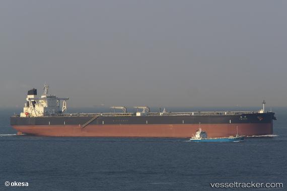
Vessel Tenma IMO: 9787754, MMSI: 356999000 Crude Oil Tanker
UTC, 12.86563, 71.76147, course: 308, speed: 14.2
UTC, 13.18752, 71.41239, course: 317, speed: 14.5
2026-02-08 00:02:19 UTC, 13.66084, 70.98094, course: 317, speed: 13.9
Live AIS position:
UTC. 184 nm NW of Amini Island),
updated 2026-02-08 00:02:19 UTC.
Find the position of the vessel Tenma on the map. The latter are known coordinates and path.
marine traffic ship tracker show on live map
The current position of vessel Tenma is 13.66084 lat / 70.98094 lng. Updated: 2026-02-08 00:02:19 UTCCurrently sailing under the flag of Panama
Details:
Last coordinates of the vessel:
UTC, 12.66333, 72.02667, course: -1, speed: 14UTC, 12.86563, 71.76147, course: 308, speed: 14.2
UTC, 13.18752, 71.41239, course: 317, speed: 14.5
2026-02-08 00:02:19 UTC, 13.66084, 70.98094, course: 317, speed: 13.9